 In the lead up to the Carnival the following areas are embargoed from 2 April 2022 until 12 January 2023 (except to attend the Oceania2023 events themselves). These embargoes are in accordance with the Rules. This means these areas may not be used for training purposes (including scouting the areas). Anyone breaking any embargo will be disqualified from competing at the relevant event. If you need to visit any of the embargoed areas for any reason please Contact Us.
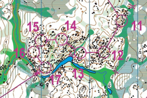
The list of areas embargoed was updated on 23rd October, 2022 to cover the current existing maps as follows:
Rajah Rock (Update)
The entire Golden Fleece map (Update)
Transit Flat (Update)
Oceania Sprint: The University of Tasmania, Launceston Campus.
No reconnoitring or training including training with an existing orienteering map of the campus is permitted. Other activities including other sports events within the campus are permitted. The relevant old map is known as University of Tasmania – Launceston.
Oceania Middle: NEW Area! Ericksons Road, Goshen Tasmania
Embargoed from a point 41°18’S, 148° 7’E south to the junction with Argonaut Road at 41°19’S, 148° 7’E and terrain extending 2 km either side of that length of road. All training and walking around the area (i.e. scouting the area) is forbidden.
Oceania Long: NEW Area! Bells Marsh Forest Reserve, Tasmania
Embargoed from the gate off Hodges Road to the west and along Bells Marsh Track to Ansons Bay Road in the east, all the terrain south to the Georges River and east to the private land at Priory. All training and hiking around the area (i.e. scouting the area) is forbidden.